






THE Malvern Hills were calling to a group of 16 walkers who joined William from Penarth and District Ramblers on a recent two-day walking break in the area, unfortunately in really atrocious weather conditions.
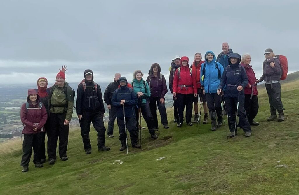
This beautiful historic area was formed many millions of years ago after an eruption of lava under the sea formed a ridge, which was then stripped of its sediment by a huge river and a ridge of hills were exposed. After the Norman invasion a monastery was set up at Great Malvern under Aldwyn, which after the dissolution, was bought by the townspeople and after the water from various springs was analysed in 1756, soon people were flocking to the area to find a water cure.
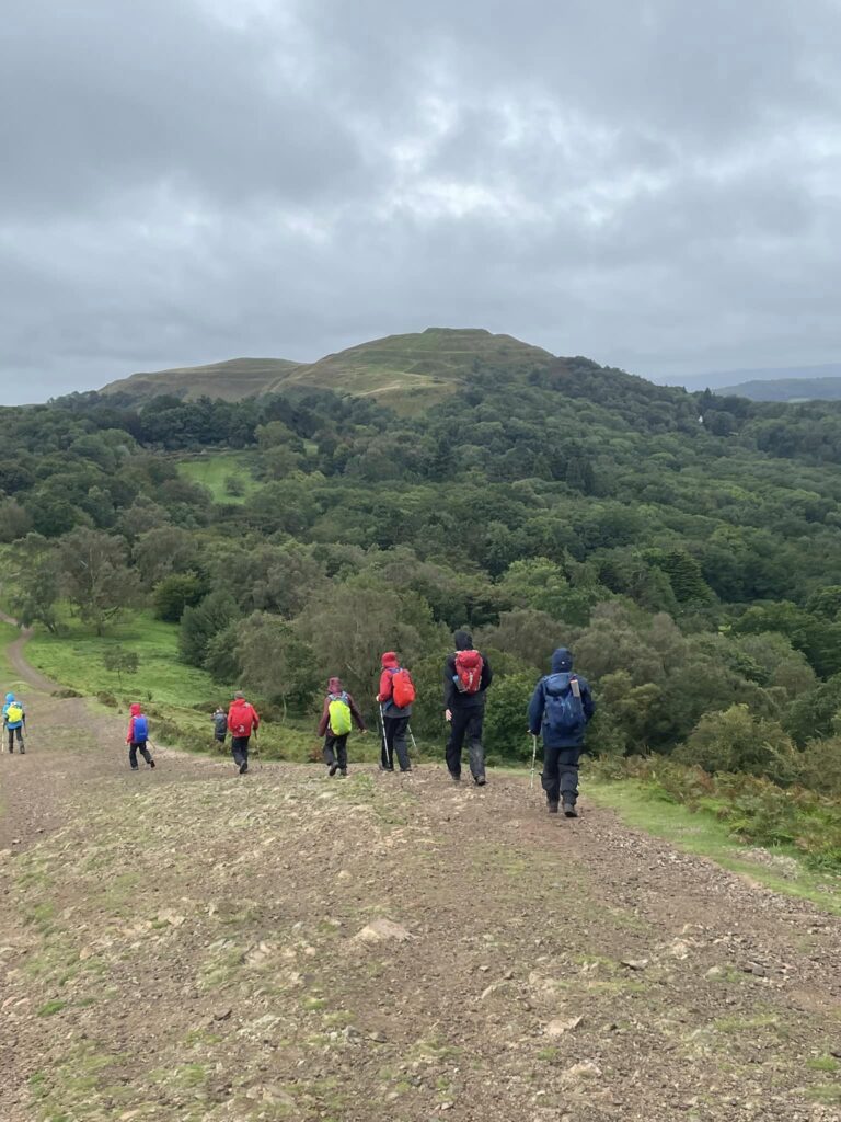
On the first damp and windy day they ventured out to conquer the north Malvern Hills, climbing steeply up North Hill before making towards the trig point on Worcestershire Beacon, which stands at 425m above sea level and is the highest point of the Malverns. Fires were built there to warn of possible dangers and could therefore be seen for miles around and at the summit is a brass toposcope identifying points of interest that was designed by Arthur Troyte Griffith, a friend of Edward Elgar.
Then across Summer Hill, which definitely did not live up to its name, before heading through Upper Wyche to clamber over Perseverance, then Jubilee, Pinnacle and Black Hills, whilst being battered by wind and rain to reach the Iron Age hillfort of British Camp on the Herefordshire Beacon, probably the best known of all the hills. After sheltering for lunch, it was downhill to the hamlet of Evendine and along part of the long distance Geopark Way to return to their starting point.
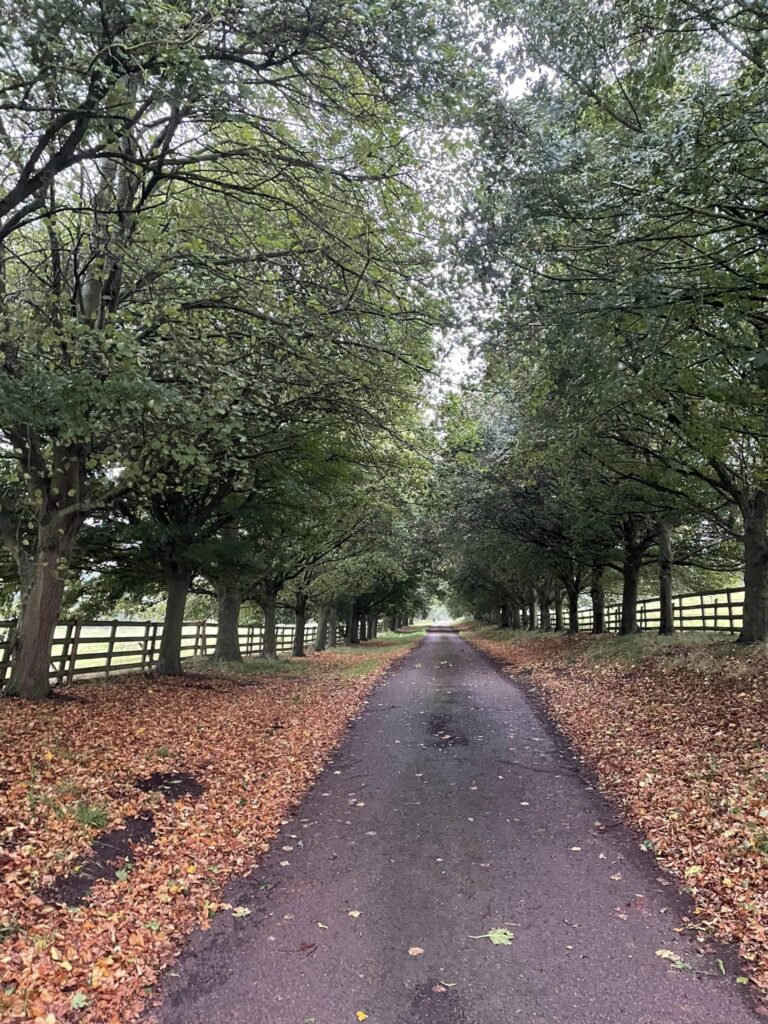
On day two, they set off from Bromsberrow in heavy rain and, passing through a lovely avenue of trees and past the 13th Century Church of St Mary, headed through fields to reach the Eastnor Castle Estate. There they stopped at the 12th Century Church of St John the Baptist to shelter for refreshments.
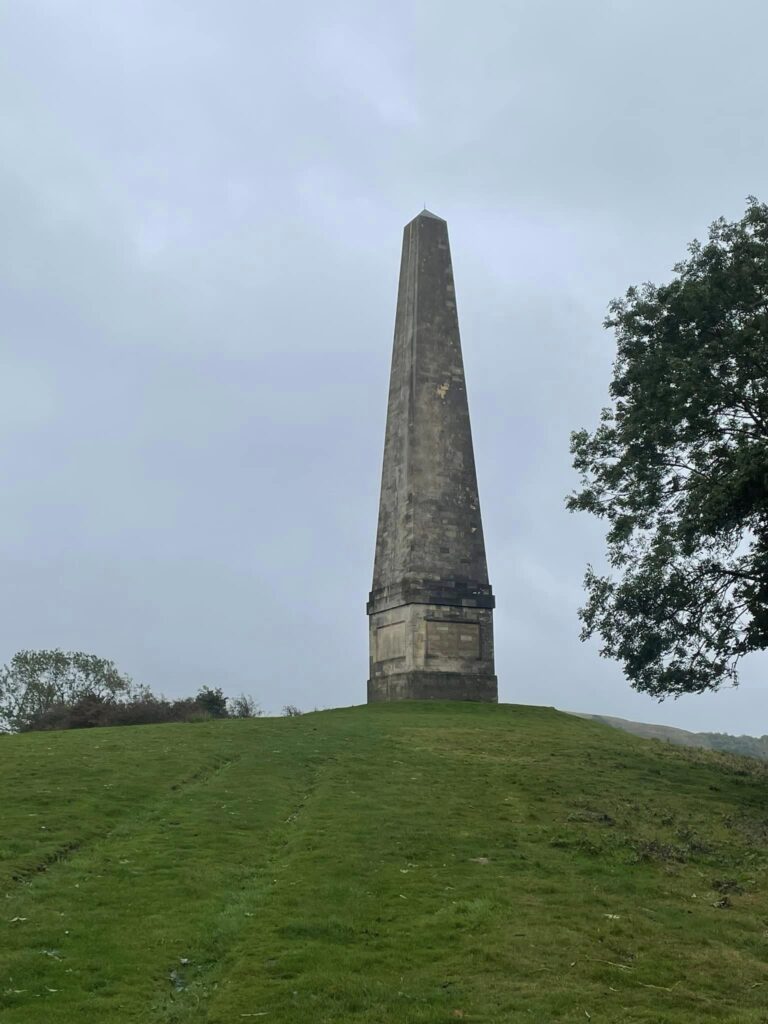
Then, heading through the deer park, which is classed as Area of Outstanding Natural Beauty and a Site of Special Scientific Interest, a long climb led to the huge 90-foot stone obelisk, built on the highest point of the estate by the 1st Earl Somers in memory of his son, who fell in action in Spain in 1812.
Onwards for the climb up Midsummer Hill with its Iron Age hillfort and on through wind and rain to Ragged Stone Hill before a descent to the shelter of the hamlet of Whiteleaved Oak and a stop for lunch.
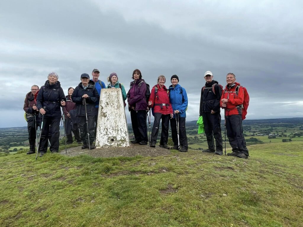
Their last steep climb led them onto common land at Chase Hill, which is the southernmost point of the Malvern Hills, before a descent to the Bromsberrow Place Estate and Park, which was designed by Capability Brown.
Making their way back to their start, despite all the wind and rain, they had conquered a total of 24 undulating miles.
You can follow the group on or on Facebook.
Joy Strangward
Other items to read:
- Penarth ramblers enjoy their weekend in Sussex
- Ramblers explore Sully Island
- Ramblers celebrate with a picnic in the park
- Penarth ramblers take a liking to Lydney
- Ramblers explore two sections of the Heritage Coast
⭐ All of our social media in one handy place – here


Tŷ Hafan’s appeal target is smashed – thanks to Welsh public

Japanese ‘capsule hotel’ is coming to Cardiff
Disabled people say they are being moved to a smaller day centre

Barry man jailed following brutal attack

Barry man jailed for threatening to kill woman

Uninsured driver was trafficking drugs


